GIS Services

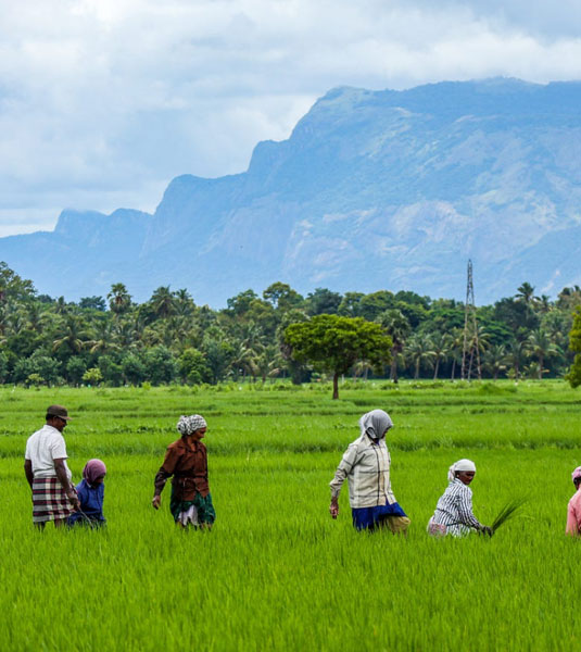
Crop Detection
Satellite and UAV Imagery Analysis: Use high-resolution satellite and drone imagery to accurately identify and classify crop types across large and small holdings.
Temporal Change Detection: Monitor seasonal or annual crop cover changes, assess cropping patterns, and detect multi-cropping or fallow cycles.
Automated Crop Health Indices: Integrate normalized difference vegetation index (NDVI), enhanced vegetation index (EVI), and custom indices for rapid crop condition screening.
Inventory & Area Statistics: Generate field-by-field or regional crop inventory reports for planners, insurers, or supply chain partners.
Supporting Compliance & Subsidy Management: Aid government agencies and FPOs with accurate area sown estimates and support in disbursing crop-related subsidies.
Integration with Advisory Platforms: Facilitate real-time, spatial crop status inputs for digital advisory and early-warning systems.
Rural Development
Resource Mapping: Identify water resources (ponds, tanks, wells), farmland, forest, and wasteland, enabling better infrastructure and resource planning.
Village and Settlement Analysis: Produce detailed maps of village boundaries, settlements, road networks, health, and educational facilities.
Socio-Economic Layering: Overlay demographic, economic activity, and access-to-services data to inform rural development strategy.
Infrastructure Planning: Assist in the planning and siting of rural roads, irrigation channels, storage units, and community services with optimized spatial layouts.
Impact Assessment & Monitoring: Use GIS time-series data to analyze effects of rural schemes, validate field implementation, and identify underserved regions.
Participatory GIS: Involve local stakeholders in mapping and planning to ensure solutions meet real community needs.
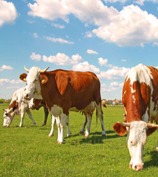
Animal Husbandry
Livestock Distribution Mapping: Visualize and analyze the distribution and densities of livestock populations using census and real-time reporting tools.
Grazing Resource Assessment: Map pasture lands, fodder availability, and seasonal grazing routes to support efficient livestock management.
Disease Surveillance & Early Warning: Enable spatial monitoring of disease outbreaks, track transmission, and support targeted veterinary interventions.
Infrastructure & Logistics: Plan and monitor locations for veterinary clinics, cold storage for vaccines, feed distribution centers, and livestock markets.
Productivity Analytics: Integrate GIS with farm data to monitor herd productivity, calving, milk yield, and related performance indicators at a regional scale.
Emergency Planning: Support disaster response (drought, floods) by mapping at-risk livestock and contingency resources.
Field Mapping
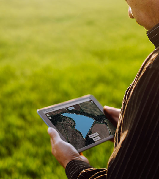
High-Precision Field Boundary Mapping: Employ GPS, RTK, and drone imagery for exact demarcation of agricultural fields, including owner/tenant details and plot history.
Zoning & Parcel Management: Create management zones within fields based on soil, crop, and productivity characteristics.
Custom Layer Integration: Combine soil, water, crop, and infrastructure layers for holistic field planning and resource allocation.
Change Detection & Audit Trails: Maintain historical records of field changes due to subdivision, consolidation, or cropping shifts.
Compliance & Certification Support: Generate accurate maps and digital records to fulfill regulatory, subsidy, and certification (e.g., organic, GAP) requirements.
IoT & Sensor Integration: Link field maps to in-situ sensors for live monitoring and actionable data delivery to farmers and advisors.